|

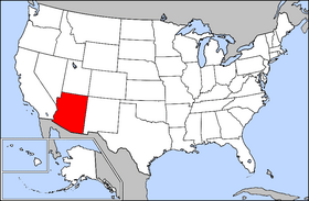
Arizona. A state of the southwest United States on the Mexican border. It was admitted as the 48th state on 14 February 1912. Explored by the Spanish beginning in 1539, the area was acquired by the United States in 1848 through the Treaty of Guadalupe Hidalgo. Phoenix is the capital and the largest city. Population: 6,392,017 (Jul 2014) State Flower: Flower of Saguaro Cactus - State Motto: God Enriches - State Nickname: Grand Canyon State - State Bird: Cactus Wren |
| Weather |
Search countymapsofarizona.com
Custom Search
|
|
Arizona Public Records
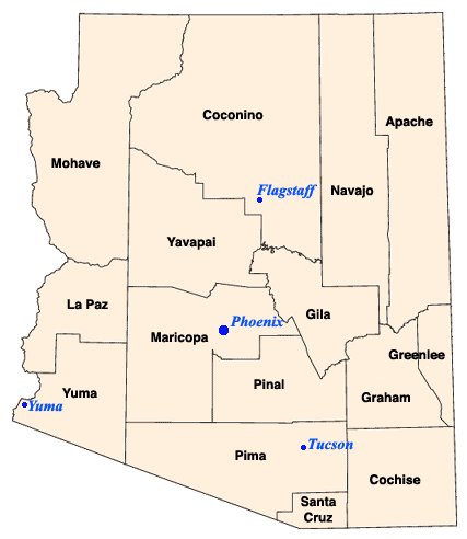
Counties: * Apache* Cochise * Coconino * Gila * Graham * Greenlee * La Paz * Maricopa * Mohave * Navajo * Pima * Pinal * Santa Cruz * Yavapai * Yuma |
Full color County color maps for State of Arizona.
|
Advertise Here
|
| Advertise with Us |
| Full Color County Maps - countymapsusa.com |
| Design & Hosting by: ©2005-2017 |